News and media
Tracking State Highway One
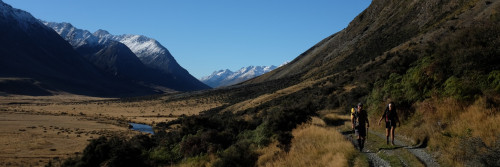
Te Araroa’s route from Puhoi to Wenderholm has been difficult, and we solved it temporarily by kayaking the Puhoi River. But we’ve been advancing the track alongside the river also, and as the Northern Gateway Alliance came up to designing its new $365 million SH1 Orewa bypass in 2005, it agreed to build in Te Araroa’s route.
Yesterday, in front of the opening of this new toll-road section early next year, the NGA held an open day for the public to look over the new section. Ten thousand people did. Photo: Geoff Chapple
We took advantage of the access to scout out the new Te Araroa section.


The track led on 500 metres to a small wharf and a layby.
At the other, southern end, the trail presently dead-ends, and we have still to get permission from two property owners with riparian rights to the river before we can connect to Wenderholm. Thanks to Te Araroa Trust’s Fiona Mackenzie and NGA project design manager Noel Nancekivell for pushing this highway section along - a brilliant addition to the national trail from the New Zealand Transport Agency and its team.

Project design manager Noel Nancekivell uses a model on display at the open day to show Te Araroa Trust CEO Geoff Chapple details of the new track. Noel: “We were very pleased to incorporate a social good into the overall design plan.”
Te Araroa's route through the NGA project is marked with a blue line.
.jpg)